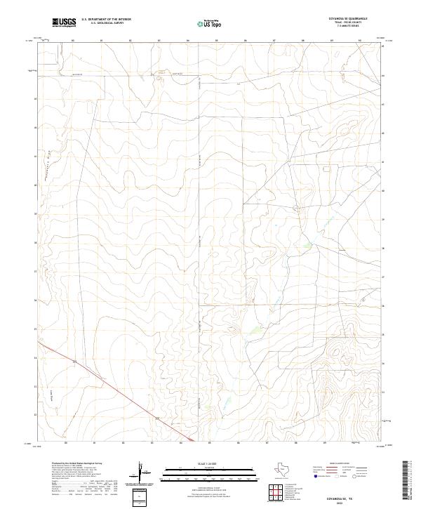
2022 Map of Coyanosa SE
USGS Topo · Published 2022About this map
Coyanosa Draw defines the western reaches of this Pecos County landscape, where the ephemeral watercourse cuts through a terrain marked by slow drainage patterns typical of the Trans-Pecos. This 2022 survey captures a remote section of Texas where human infrastructure remains minimal, consisting primarily of straight-line access routes such as Ranch Rd 1776 and Mcintyre Rd. These corridors serve a ranching economy that relies on the natural contours of the land, where Courtney Cr and Cato Draw provide the primary geographical markers in an otherwise vast, open expanse. The map illustrates how modern land use continues to follow the sparse, utilitarian network established by early regional cattle interests, maintaining a topographic character that has changed little since the mid-20th century.
Find a feature on this map
5 named features on this map. Tap any name to fly to it.
Don’t see what you’re looking for? This feature index may not catch every label — zoom into the map to look around manually.
Map Details
Editions of this 2022 Coyanosa SE Map
This is the sole edition of this map. No revisions or reprints were ever made.
Other maps of this area

1921 · Fort Stockton
USGS Topo · 1:62,500

1923 · Fort Stockton
USGS Topo · 1:62,500

1928 · Comanche Spring
USGS Topo · 1:125,000

1929 · Hovey
USGS Topo · 1:125,000

1931 · Barstow
USGS Topo · 1:125,000

1954 · Pecos
USGS Topo · 1:250,000

1954 · Fort Stockton
USGS Topo · 1:250,000

1957 · Pecos
USGS Topo · 1:250,000

1958 · Fort Stockton
USGS Topo · 1:250,000

1970 · Fort Stockton West
USGS Topo · 1:24,000