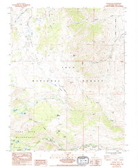
1984 Map of Coyote Flat
USGS Topo · Published 1994About this map
Coyote Flat dominates this high-elevation landscape of the Eastern Sierra, captured in a period when these backcountry reaches remained under the stewardship of the Inyo National Forest. The map illustrates a complex network of seasonal drainages and glacial features, notably the Big Pine Lakes system in the southwest corner, including First Lake, Second Lake, and Fourth Lake. These water bodies are situated within the protected boundaries of the John Muir Wilderness, reflecting the region's long-standing status as a preserved natural sanctuary.
Find a feature on this map
33 named features on this map. Tap any name to fly to it.
Don’t see what you’re looking for? This feature index may not catch every label — zoom into the map to look around manually.
Map Details
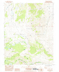
Editions of this 1984 Coyote Flat Map
2 editions found
Other maps of this area

1912 · Mt. Goddard
USGS Topo · 1:125,000

1913 · Bishop
USGS Topo · 1:125,000

1947 · Mariposa
USGS Topo · 1:250,000

1948 · Mariposa
USGS Topo · 1:250,000

1948 · Mt. Goddard
USGS Topo · 1:62,500

1949 · Mt. Tom
USGS Topo · 1:62,500

1949 · Bishop
USGS Topo · 1:62,500

1950 · Big Pine
USGS Topo · 1:62,500

1951 · Mt. Tom
USGS Topo · 1:62,500

1951 · Mt. Goddard
USGS Topo · 1:62,500