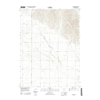
2014 Map of Cozad NW
USGS Topo · Published 2014About this map
Gothenburg Canal and Cozad Canal cut through this Dawson County landscape, illustrating the critical role of engineered irrigation in Nebraska's agricultural heartland. The terrain is defined by the winding course of Spring Cr and the structured grid of rural roads, including Road 765 and Road 421. This 2014 survey reveals the organized water management system essential for local farming, featuring numerous laterals such as Lateral Number 16 and Lateral Number 20 that branch off the primary canals.
Find a feature on this map
30 named features on this map. Tap any name to fly to it.
Don’t see what you’re looking for? This feature index may not catch every label — zoom into the map to look around manually.
Map Details
Editions of this 2014 Cozad NW Map
This is the sole edition of this map. No revisions or reprints were ever made.
Other maps of this area

1896 · Lexington
USGS Topo · 1:125,000

1899 · Lexington
USGS Topo · 1:125,000

1902 · Gothenburg
USGS Topo · 1:125,000

1951 · Oconto SW
USGS Topo · 1:24,000

1951 · Oconto SE
USGS Topo · 1:24,000

1954 · McCook
USGS Topo · 1:250,000

1954 · North Platte
USGS Topo · 1:250,000

1955 · Broken Bow
USGS Topo · 1:250,000

1955 · Grand Island
USGS Topo · 1:250,000

1956 · Broken Bow
USGS Topo · 1:250,000