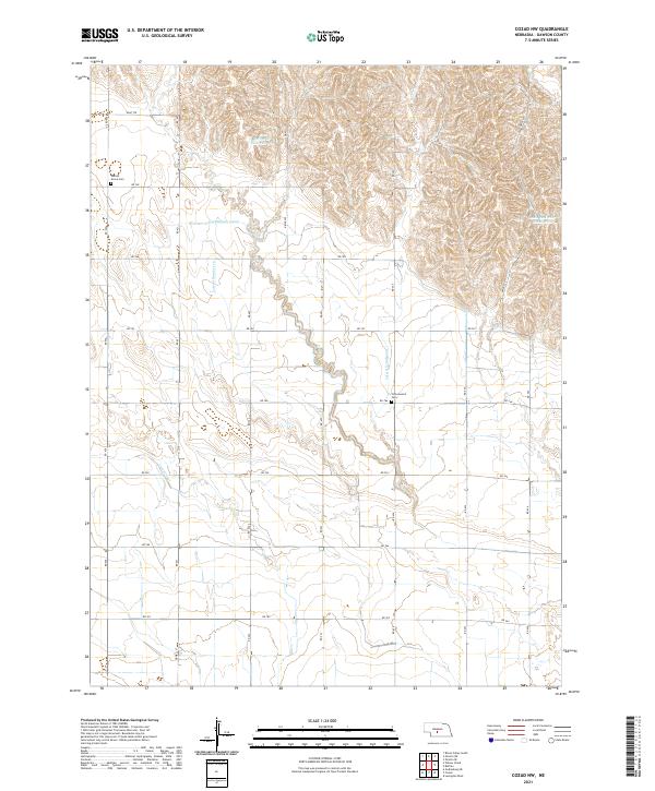
2021 Map of Cozad NW
USGS Topo · Published 2021About this map
Agricultural development in Dawson County is defined by an intricate network of irrigation systems, most notably the Gothenburg Canal and the Cozad Canal. These waterways, alongside smaller arteries like Lateral Number 16 and Lateral Number 20, underscore the region's historical reliance on managed water resources for prairie farming. The landscape is primarily divided into a rigid section-line grid, where local roads such as RD 765 and RD 766 provide access to the expansive agricultural tracts.
Find a feature on this map
34 named features on this map. Tap any name to fly to it.
Don’t see what you’re looking for? This feature index may not catch every label — zoom into the map to look around manually.
Map Details
Editions of this 2021 Cozad NW Map
This is the sole edition of this map. No revisions or reprints were ever made.
Other maps of this area

1896 · Lexington
USGS Topo · 1:125,000

1899 · Lexington
USGS Topo · 1:125,000

1902 · Gothenburg
USGS Topo · 1:125,000

1951 · Oconto SW
USGS Topo · 1:24,000

1951 · Oconto SE
USGS Topo · 1:24,000

1954 · McCook
USGS Topo · 1:250,000

1954 · North Platte
USGS Topo · 1:250,000

1955 · Broken Bow
USGS Topo · 1:250,000

1955 · Grand Island
USGS Topo · 1:250,000

1956 · Broken Bow
USGS Topo · 1:250,000