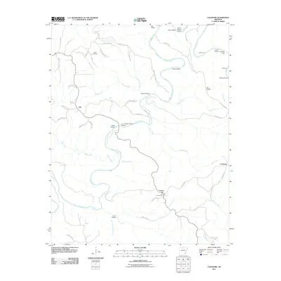
2011 Map of Cozahome
USGS Topo · Published 2011About this map
The Buffalo River snakes through this section of Searcy and Marion counties, carving a deep network of hollows and ridges defined by a traditional Ozark settlement pattern. Small communities and named landmarks are scattered throughout the winding terrain, including Cozahome, Evening Star, and Mull. The mapping reveals the historical importance of river crossings and local geography, with sites like Brantley Ford and Weast Ford providing essential access points across the water.
Find a feature on this map
59 named features on this map. Tap any name to fly to it.
Don’t see what you’re looking for? This feature index may not catch every label — zoom into the map to look around manually.
Map Details
Editions of this 2011 Cozahome Map
This is the sole edition of this map. No revisions or reprints were ever made.
Other maps of this area

1890 · Mountain Home
USGS Topo · 1:125,000

1891 · Mountain Home
USGS Topo · 1:125,000

1892 · Marshall
USGS Topo · 1:125,000

1892 · Mountain View
USGS Topo · 1:125,000

1893 · Yellville
USGS Topo · 1:125,000

1894 · Mountain View
USGS Topo · 1:125,000

1894 · Mountain Home
USGS Topo · 1:125,000

1894 · Marshall
USGS Topo · 1:125,000

1901 · Marshall
USGS Topo · 1:125,000

1903 · Yellville
USGS Topo · 1:125,000