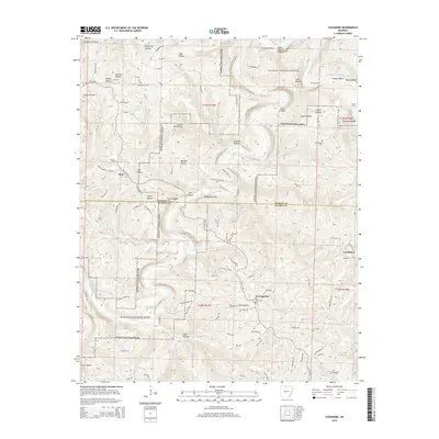
2014 Map of Cozahome
USGS Topo · Published 2014About this map
The Buffalo National River carves a deep, winding path through this portion of the Ozarks, defining the border between Marion and Searcy Counties. This landscape is marked by the river's geological features, including Silver Hollow Shoal, Petits Chute, and Dog Leg Chute, alongside historical river crossings like Brantley Ford and Weast Ford. The settlement of Cozahome and the community of Evening Star sit on the high plateaus above the river valley, connected by a network of rural routes such as Cozahome Rd and Zircon Trl.
Find a feature on this map
101 named features on this map. Tap any name to fly to it.
Don’t see what you’re looking for? This feature index may not catch every label — zoom into the map to look around manually.
Map Details
Editions of this 2014 Cozahome Map
This is the sole edition of this map. No revisions or reprints were ever made.
Other maps of this area

1890 · Mountain Home
USGS Topo · 1:125,000

1891 · Mountain Home
USGS Topo · 1:125,000

1892 · Marshall
USGS Topo · 1:125,000

1892 · Mountain View
USGS Topo · 1:125,000

1893 · Yellville
USGS Topo · 1:125,000

1894 · Mountain View
USGS Topo · 1:125,000

1894 · Mountain Home
USGS Topo · 1:125,000

1894 · Marshall
USGS Topo · 1:125,000

1901 · Marshall
USGS Topo · 1:125,000

1903 · Yellville
USGS Topo · 1:125,000