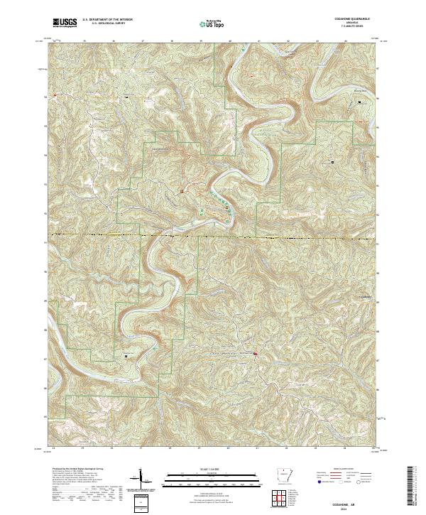
2024 Map of Cozahome
USGS Topo · Published 2024About this map
The Buffalo River carves a deep, winding path through the Ozark landscape on the border of Marion and Searcy Counties. This modern survey illustrates the protected corridor of the Buffalo National River Wilderness, where the waterway is defined by river features like Silver Hollow Shoal, Petits Chute, and Dog Leg Chute. Away from the river, the terrain is a complex network of hollows and ridges, including the notable Indian Rockhouse and Roaring Rock.
Find a feature on this map
85 named features on this map. Tap any name to fly to it.
Don’t see what you’re looking for? This feature index may not catch every label — zoom into the map to look around manually.
Map Details
Editions of this 2024 Cozahome Map
This is the sole edition of this map. No revisions or reprints were ever made.
Other maps of this area

1890 · Mountain Home
USGS Topo · 1:125,000

1891 · Mountain Home
USGS Topo · 1:125,000

1892 · Marshall
USGS Topo · 1:125,000

1892 · Mountain View
USGS Topo · 1:125,000

1893 · Yellville
USGS Topo · 1:125,000

1894 · Mountain View
USGS Topo · 1:125,000

1894 · Mountain Home
USGS Topo · 1:125,000

1894 · Marshall
USGS Topo · 1:125,000

1901 · Marshall
USGS Topo · 1:125,000

1903 · Yellville
USGS Topo · 1:125,000