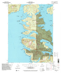
1994 Map of Craig A-4
USGS Topo · Published 1998About this map
Suemez Island and the rugged southwestern coastline of Prince of Wales Island dominate this coastal landscape within the Tongass National Forest. The map documents a maritime environment defined by complex inlets like Sea Otter Harbor and Bobs Bay, where the shoreline is punctuated by landmark peaks such as Bear Mtn and Thunder Mtn. Industrial activity is evident in the southeastern corner, where a Logging Camp and a Limestone Quarry are situated near View Cove. These features highlight the mid-century transition toward resource extraction in Southeast Alaska. The intricate network of passages, including Meares Passage and Tlevak Strait, provides a clear view of the navigational challenges and sheltered harbors used by fishing and timber vessels throughout the late 20th century.
Find a feature on this map
102 named features on this map. Tap any name to fly to it.
Don’t see what you’re looking for? This feature index may not catch every label — zoom into the map to look around manually.
Map Details
Editions of this 1994 Craig A-4 Map
2 editions found
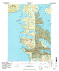
Other maps of this area

1948 · Craig A-4
USGS Topo · 1:63,360

1948 · Dixon Entrance D-5
USGS Topo · 1:63,360

1948 · Craig B-5
USGS Topo · 1:63,360

1948 · Craig A-5
USGS Topo · 1:63,360

1948 · Dixon Entrance D-4
USGS Topo · 1:63,360

1948 · Dixon Entrance D-3
USGS Topo · 1:63,360

1948 · Craig A-3
USGS Topo · 1:63,360

1949 · Craig B-3
USGS Topo · 1:63,360

1949 · Craig B-4
USGS Topo · 1:63,360

1951 · Craig B-4
USGS Topo · 1:63,360