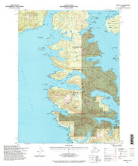
1994 Map of Craig A-4
USGS Topo · Published 1998About this map
Tongass National Forest dominates this coastal landscape, where the Alexander Archipelago fragments into a complex network of islands and deep-water inlets. Based on topography from 1948 and updated with imagery through the early 1990s, the map reveals the rugged maritime geography of Suemez Island, Dall Island, and a portion of Prince of Wales Island. Coastal features like Sea Otter Harbor and the long reach of Manhattan Arm illustrate the intricate shoreline that has long supported Alaskan maritime activities.
Find a feature on this map
85 named features on this map. Tap any name to fly to it.
Don’t see what you’re looking for? This feature index may not catch every label — zoom into the map to look around manually.
Map Details
Editions of this 1994 Craig A-4 Map
2 editions found
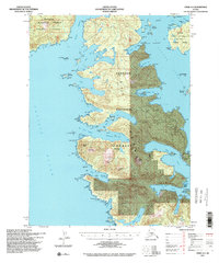
Other maps of this area

1948 · Craig A-4
USGS Topo · 1:63,360

1948 · Dixon Entrance D-5
USGS Topo · 1:63,360

1948 · Craig B-5
USGS Topo · 1:63,360

1948 · Craig A-5
USGS Topo · 1:63,360

1948 · Dixon Entrance D-4
USGS Topo · 1:63,360

1948 · Dixon Entrance D-3
USGS Topo · 1:63,360

1948 · Craig A-3
USGS Topo · 1:63,360

1949 · Craig B-3
USGS Topo · 1:63,360

1949 · Craig B-4
USGS Topo · 1:63,360

1951 · Craig B-4
USGS Topo · 1:63,360