
1948 Map of Craig B-6
USGS Topo · Published 1957About this map
Noyes Island and the northern tip of Baker Island dominate this coastal survey of the Alexander Archipelago, showing the wild shoreline of the Tongass National Forest in the late 1940s. The map focuses on the interface between the Pacific Ocean and these landmasses, documenting hazardous maritime features such as Shaft Rx, Arcadia Rx, and the shoals near Outer I.
Find a feature on this map
14 named features on this map. Tap any name to fly to it.
Don’t see what you’re looking for? This feature index may not catch every label — zoom into the map to look around manually.
Map Details
Editions of this 1948 Craig B-6 Map
3 editions found
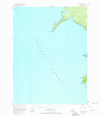
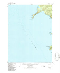
Other maps of this area

1948 · Craig B-5
USGS Topo · 1:63,360

1948 · Craig A-5
USGS Topo · 1:63,360

1951 · Craig C-6
USGS Topo · 1:63,360

1951 · Craig C-5
USGS Topo · 1:63,360

1957 · Craig
USGS Topo · 1:250,000
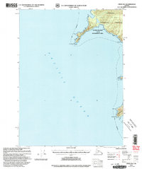
2000 · Craig B-6
USGS Topo · 1:63,360

2000 · Craig B-5
USGS Topo · 1:63,360
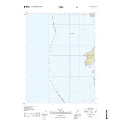
2017 · Craig B-6 SE
USGS Topo · 1:25,000
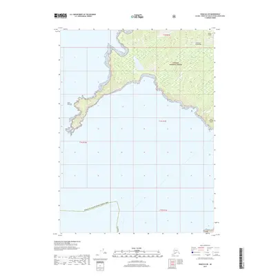
2017 · Craig B-6 NE
USGS Topo · 1:25,000
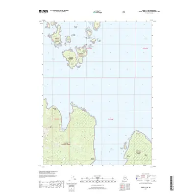
2017 · Craig C-5 SW
USGS Topo · 1:25,000