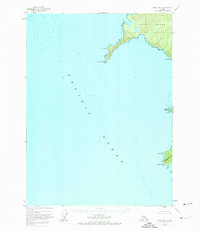
1948 Map of Craig B-6
USGS Topo · Published 1974About this map
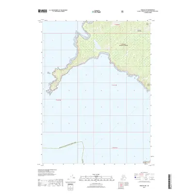
Noyes Island and Baker Island dominate this coastal survey of the Alexander Archipelago, showing the wilderness of the Tongass National Forest as it was mapped in the late 1940s. The map focuses on the complex maritime interface of the Pacific Ocean, where prominent headlands like Cape Addington and St Nicholas Pt reach out into the sea. The interior of the islands is marked by significant elevation, while the shoreline is defined by precarious hazards such as Shaft Rk and Arcada Rk.
Find a feature on this map
14 named features on this map. Tap any name to fly to it.
Don’t see what you’re looking for? This feature index may not catch every label — zoom into the map to look around manually.
Map Details
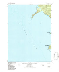
Editions of this 1948 Craig B-6 Map
3 editions found
Other maps of this area

1948 · Craig B-5
USGS Topo · 1:63,360

1948 · Craig A-5
USGS Topo · 1:63,360

1948 · Craig B-6
USGS Topo · 1:63,360

1951 · Craig C-6
USGS Topo · 1:63,360

1951 · Craig C-5
USGS Topo · 1:63,360

1957 · Craig
USGS Topo · 1:250,000
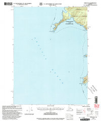
2000 · Craig B-6
USGS Topo · 1:63,360

2000 · Craig B-5
USGS Topo · 1:63,360
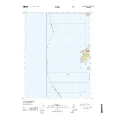
2017 · Craig B-6 SE
USGS Topo · 1:25,000
2017 · Craig B-6 NE
USGS Topo · 1:25,000