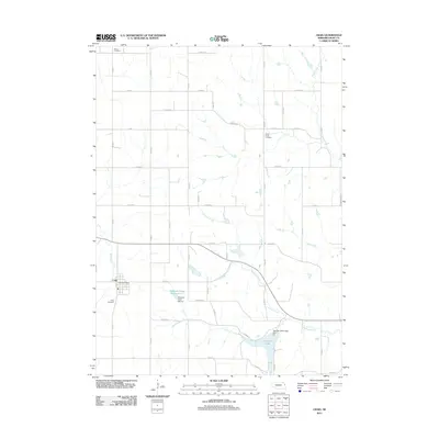
2011 Map of Craig
USGS Topo · Published 2011About this map
Craig serves as the primary hub of this eastern Nebraska landscape, where the grid-based road network of Burt County meets the winding paths of several regional waterways. The village is well-documented with its Craig Post Office and Craig Cemetery, providing essential landmarks for local history. Water management is a defining characteristic of the terrain, visible through the presence of Summit Lake and the Tekamah Creek Reservoir 6-1, alongside established streams like Bell Creek and Silver Creek. These reservoirs and dams indicate a landscape adapted for agricultural stability and flood control. Genealogists will find further value in the peripheral burial grounds, including Grace Cemetery in the north and Silver Creek Cemetery to the east, which offer clues to the early settlement patterns of the surrounding townships.
Find a feature on this map
38 named features on this map. Tap any name to fly to it.
Don’t see what you’re looking for? This feature index may not catch every label — zoom into the map to look around manually.
Map Details
Editions of this 2011 Craig Map
This is the sole edition of this map. No revisions or reprints were ever made.
Other maps of this area

1955 · Fremont
USGS Topo · 1:250,000

1957 · Fremont
USGS Topo · 1:250,000

1958 · Fremont
USGS Topo · 1:250,000

1966 · Oakland
USGS Topo · 1:24,000

1966 · Lyons
USGS Topo · 1:24,000

1966 · Nickerson NW
USGS Topo · 1:24,000

1970 · Oakland SE
USGS Topo · 1:24,000
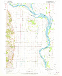
1970 · Tekamah NW
USGS Topo · 1:24,000
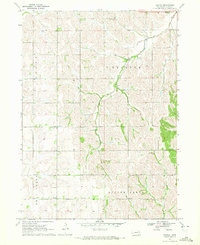
1970 · Bertha
USGS Topo · 1:24,000

1970 · Herman
USGS Topo · 1:24,000