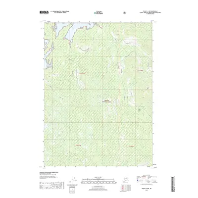
2017 Map of Craig C-4 NW
USGS Topo · Published 2017About this map
Prince of Wales Island in Southeast Alaska is defined by its deep inlets and complex network of logging access routes within the Tongass National Forest. This 2017 survey details the maritime landscape along the western coast, stretching from the rocky outcrop of Guktu Point and the sheltered waters of Kaguk Cove down to Nossuk Bay. The interior is heavily traversed by service roads and spurs, including the Kaguk Cove 2051040 Rd and S Nossuk 2051100 Rd, which navigate the steep elevations near Kagish Mtn. These corridors illustrate the ongoing infrastructure of the regional timber industry and forest management, while labels like Winter Harbor and Shaheen Cr mark the critical points where the terrestrial wilderness meets the Pacific tidal zones.
Find a feature on this map
21 named features on this map. Tap any name to fly to it.
Don’t see what you’re looking for? This feature index may not catch every label — zoom into the map to look around manually.
Map Details
Editions of this 2017 Craig C-4 NW Map
This is the sole edition of this map. No revisions or reprints were ever made.
Other maps of this area

1949 · Craig D-4
USGS Topo · 1:63,360

1949 · Craig C-4
USGS Topo · 1:63,360

1951 · Craig C-4
USGS Topo · 1:63,360

1951 · Craig C-5
USGS Topo · 1:63,360

1951 · Craig D-5
USGS Topo · 1:63,360

1951 · Craig D-4
USGS Topo · 1:63,360

1957 · Craig
USGS Topo · 1:250,000
1994 · Craig D-4
USGS Topo · 1:63,360
1996 · Craig D-5
USGS Topo · 1:63,360
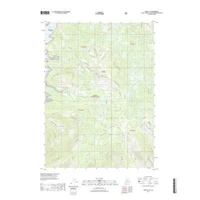
2017 · Craig D-4 SE
USGS Topo · 1:25,000