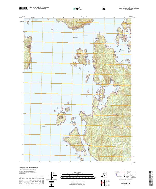
2021 Map of Craig C-5 NE
USGS Topo · Published 2021About this map
Prince of Wales Island dominates this maritime landscape within the Tongass National Forest, showing the intricate coastline of the Alexander Archipelago. The intricate network of waterways includes the sheltered waters of Nossuk Anchorage and Salt Lake Bay, critical points for navigation and local subsistence. Maritime hazards and landmarks are precisely documented, from the sprawling Curacao Reef to isolated features like Kubanoj Rock and Phillips Rock. The survey details several island groups, most notably the Harmony Islands and Culebra Islands, which characterize the fragmented coastal geography. Shoreline features such as Bay Point and the elevations of Tonowek Ridge provide essential orientation for those navigating the waters of Tonowek Bay or entering Warm Chuck Inlet.
Find a feature on this map
20 named features on this map. Tap any name to fly to it.
Don’t see what you’re looking for? This feature index may not catch every label — zoom into the map to look around manually.
Map Details
Editions of this 2021 Craig C-5 NE Map
This is the sole edition of this map. No revisions or reprints were ever made.
Other maps of this area

1949 · Craig D-4
USGS Topo · 1:63,360

1949 · Craig C-4
USGS Topo · 1:63,360

1951 · Craig C-4
USGS Topo · 1:63,360

1951 · Craig C-5
USGS Topo · 1:63,360

1951 · Craig D-5
USGS Topo · 1:63,360

1951 · Craig D-4
USGS Topo · 1:63,360

1957 · Craig
USGS Topo · 1:250,000
1994 · Craig D-4
USGS Topo · 1:63,360
1996 · Craig D-5
USGS Topo · 1:63,360
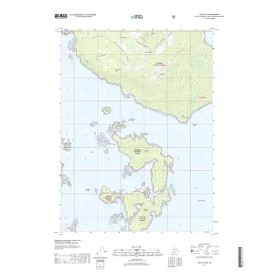
2017 · Craig C-5 NW
USGS Topo · 1:25,000