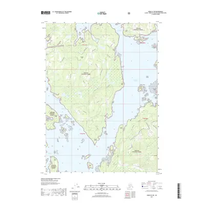
2017 Map of Craig D-4 SW
USGS Topo · Published 2017About this map
Tuxekan Island dominates this portion of the Tongass National Forest, separated from the mainland by the intricate waters of the Tuxekan Narrows and Tuxekan Passage. This 2017 study illustrates the complex archipelago environment of the Alexander Archipelago, where prominent coastal markers like Tahka Point and Kugun Point define the rugged shoreline. The interior of the island is mapped with a network of forest access routes, including N Tuekekan Road and N Boot Lake, which provide passage through the timberlands toward Karheen Lakes.
Find a feature on this map
61 named features on this map. Tap any name to fly to it.
Don’t see what you’re looking for? This feature index may not catch every label — zoom into the map to look around manually.
Map Details
Editions of this 2017 Craig D-4 SW Map
This is the sole edition of this map. No revisions or reprints were ever made.
Other maps of this area

1949 · Craig D-4
USGS Topo · 1:63,360

1949 · Craig C-4
USGS Topo · 1:63,360

1951 · Craig C-4
USGS Topo · 1:63,360

1951 · Craig C-5
USGS Topo · 1:63,360

1951 · Craig D-5
USGS Topo · 1:63,360

1951 · Craig D-4
USGS Topo · 1:63,360

1957 · Craig
USGS Topo · 1:250,000
1994 · Craig D-4
USGS Topo · 1:63,360
1996 · Craig D-5
USGS Topo · 1:63,360
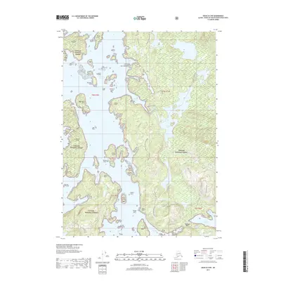
2017 · Craig D-4 NW
USGS Topo · 1:25,000