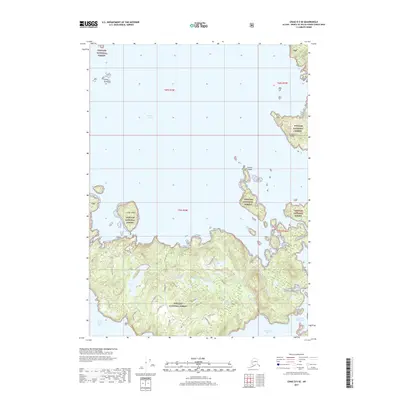
2017 Map of Craig D-5 SE
USGS Topo · Published 2017About this map
Tongass National Forest encompasses the rugged coastline of Prince of Wales Island, where the waters of Sea Otter Sound meet a dense network of inlets and freshwater lakes. The maritime landscape is defined by significant geographical features such as Tuxekan Island and Camp Island, while the southern reaches are dominated by the elevations of Tonowek Ridge. Human activity is recorded through specialized landmarks like Plateau Clearcut and nautical points of interest including Port Alice and Indian Cove. The intricate drainage system of this region is mapped in detail, showing how Chuck Creek and Mink Creek connect numerous interior basins like Crooked Lake, Hook Lake, and Marsh Lake to the saltwater of Warm Chuck Inlet and Tonowek Bay. This 2017 survey provides a precise look at the hydrological and timber-harvesting patterns within this coastal wilderness.
Find a feature on this map
32 named features on this map. Tap any name to fly to it.
Don’t see what you’re looking for? This feature index may not catch every label — zoom into the map to look around manually.
Map Details
Editions of this 2017 Craig D-5 SE Map
This is the sole edition of this map. No revisions or reprints were ever made.
Other maps of this area

1949 · Craig D-4
USGS Topo · 1:63,360

1949 · Craig C-4
USGS Topo · 1:63,360

1951 · Craig C-4
USGS Topo · 1:63,360

1951 · Craig C-5
USGS Topo · 1:63,360

1951 · Craig D-5
USGS Topo · 1:63,360

1951 · Craig D-4
USGS Topo · 1:63,360

1957 · Craig
USGS Topo · 1:250,000
1994 · Craig D-4
USGS Topo · 1:63,360
1996 · Craig D-5
USGS Topo · 1:63,360
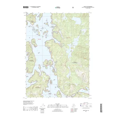
2017 · Craig D-4 NW
USGS Topo · 1:25,000