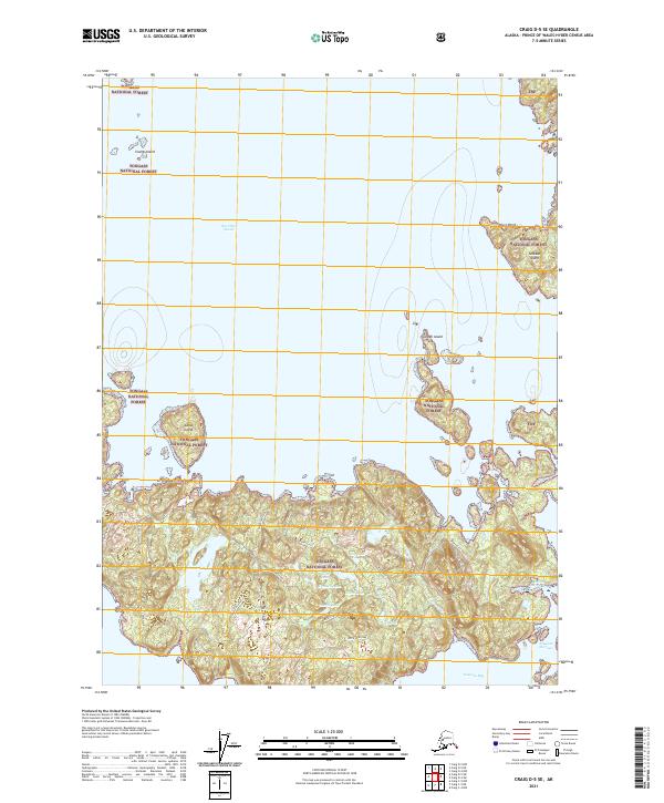
2021 Map of Craig D-5 SE
USGS Topo · Published 2021About this map
Sea Otter Sound dominates the coastal landscape of this Alaskan survey, where the intricate shoreline of Tongass National Forest meets the Pacific waters. The topography is defined by significant landmarks such as Tonowek Ridge and the sheltered waters of Tonowek Bay. The map records specific forest management and environmental events, noted by labels such as Plateau Clearcut and Spruce Blowdown, providing a rare window into the changing state of the timberlands during this era.
Find a feature on this map
35 named features on this map. Tap any name to fly to it.
Don’t see what you’re looking for? This feature index may not catch every label — zoom into the map to look around manually.
Map Details
Editions of this 2021 Craig D-5 SE Map
This is the sole edition of this map. No revisions or reprints were ever made.
Other maps of this area

1949 · Craig D-4
USGS Topo · 1:63,360

1949 · Craig C-4
USGS Topo · 1:63,360

1951 · Craig C-4
USGS Topo · 1:63,360

1951 · Craig C-5
USGS Topo · 1:63,360

1951 · Craig D-5
USGS Topo · 1:63,360

1951 · Craig D-4
USGS Topo · 1:63,360

1957 · Craig
USGS Topo · 1:250,000
1994 · Craig D-4
USGS Topo · 1:63,360
1996 · Craig D-5
USGS Topo · 1:63,360
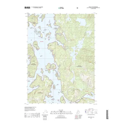
2017 · Craig D-4 NW
USGS Topo · 1:25,000