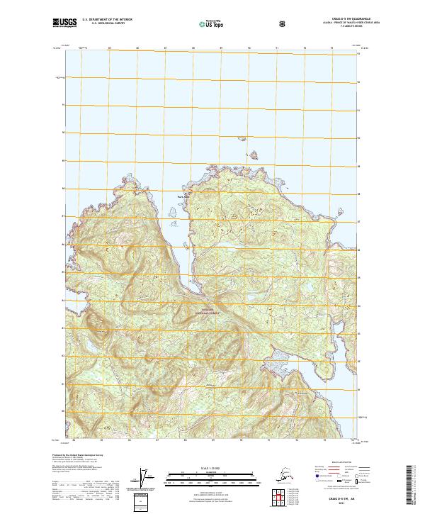
2021 Map of Craig D-5 SW
USGS Topo · Published 2021About this map
Heceta Island, part of the Alexander Archipelago, is defined by a dense network of forest service trails and logging spurs within the Tongass National Forest. The settlement of Port Alice sits along the protected waters of the inlet, serving as a focal point for maritime and timber activity in this maritime environment. The terrain is marked by prominent elevations such as Cone Peak and Bald Mountain, while the coastline is indented by Cone Bay and the exposed reach of Roaring Ocean.
Find a feature on this map
47 named features on this map. Tap any name to fly to it.
Don’t see what you’re looking for? This feature index may not catch every label — zoom into the map to look around manually.
Map Details
Editions of this 2021 Craig D-5 SW Map
This is the sole edition of this map. No revisions or reprints were ever made.
Other maps of this area

1951 · Craig C-6
USGS Topo · 1:63,360

1951 · Craig D-6
USGS Topo · 1:63,360

1951 · Craig C-5
USGS Topo · 1:63,360

1951 · Craig D-5
USGS Topo · 1:63,360

1957 · Craig
USGS Topo · 1:250,000
1996 · Craig D-5
USGS Topo · 1:63,360
2017 · Craig D-6 NE
USGS Topo · 1:25,000
2017 · Craig C-5 NW
USGS Topo · 1:25,000
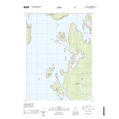
2017 · Craig C-5 NE
USGS Topo · 1:25,000
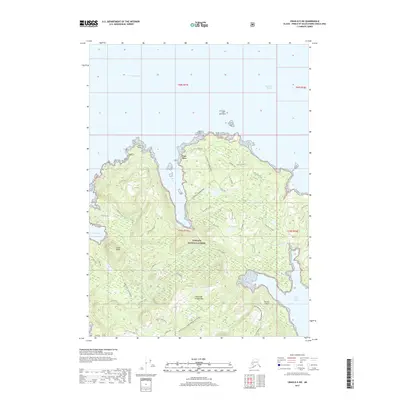
2017 · Craig D-5 SW
USGS Topo · 1:25,000