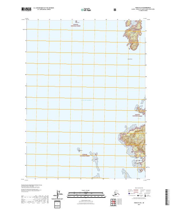
2021 Map of Craig D-6 SE
USGS Topo · Published 2021About this map
Tongass National Forest encompasses the rugged coastline of the Alexander Archipelago shown here, where the Gulf of Alaska meets a complex network of islands and waterways. The topography is dominated by the western shores of Heceta Island, featuring landmarks such as Cape Lynch and the heights above Cone Bay. Inward from the coast, Cone Lake sits tucked behind the shoreline, accessed by the Cone Lake B Spur. Scattered across the maritime landscape are navigational markers and smaller landmasses, including Whale Head Island, Lasa Island, and the distinctive Whale Rock. This modern survey details the intricate shoreline and elevation of these remote landforms, from the tidal hazards at Slide Reef to the exposed peak at Whale Head. The map's focus on hydrography and forestry boundaries reflects the region's enduring character as a wilderness shaped by the sea.
Find a feature on this map
18 named features on this map. Tap any name to fly to it.
Don’t see what you’re looking for? This feature index may not catch every label — zoom into the map to look around manually.
Map Details
Editions of this 2021 Craig D-6 SE Map
This is the sole edition of this map. No revisions or reprints were ever made.
Other maps of this area

1951 · Craig C-6
USGS Topo · 1:63,360

1951 · Craig D-6
USGS Topo · 1:63,360

1951 · Craig C-5
USGS Topo · 1:63,360

1951 · Craig D-5
USGS Topo · 1:63,360

1957 · Craig
USGS Topo · 1:250,000
1996 · Craig D-5
USGS Topo · 1:63,360
2017 · Craig D-6 NE
USGS Topo · 1:25,000
2017 · Craig C-5 NW
USGS Topo · 1:25,000
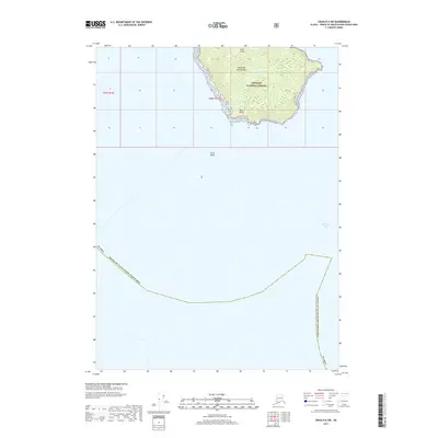
2017 · Craig D-6 SW
USGS Topo · 1:25,000
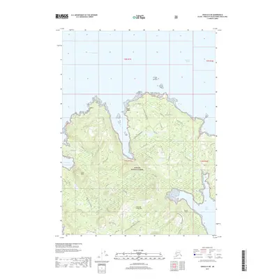
2017 · Craig D-5 SW
USGS Topo · 1:25,000