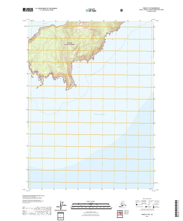
2021 Map of Craig D-7 SW
USGS Topo · Published 2021About this map
Tongass National Forest covers the coastal elevations of this southern Alaskan peninsula, where the landscape drops sharply into the Gulf of Alaska. The terrain is defined by prominent coastal landmarks like Needle Peak and Helm Point, providing essential orientation points for maritime travel along the Prince of Wales-Hyder coastline. This 2021 topographic record reveals a wilderness landscape largely devoid of human infrastructure, focusing instead on the natural inlets and sheltered waters of the North Pacific. Mariners and coastal researchers can trace the protected waters of Windy Bay in the northwest and China Cove to the southeast, both of which offer natural refuge from the open sea. The map serves as a contemporary document of the shoreline and elevation contours within the Prince of Wales-Hyder Census Area.
Find a feature on this map
10 named features on this map. Tap any name to fly to it.
Don’t see what you’re looking for? This feature index may not catch every label — zoom into the map to look around manually.
Map Details
Editions of this 2021 Craig D-7 SW Map
This is the sole edition of this map. No revisions or reprints were ever made.
Other maps of this area
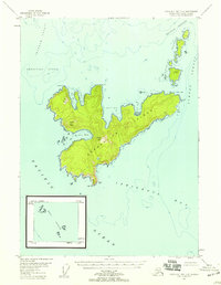
1948 · Craig D-7 and D-8
USGS Topo · 1:63,360

1957 · Craig
USGS Topo · 1:250,000
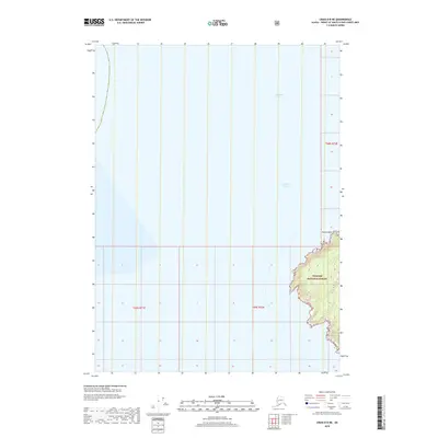
2018 · Craig D-8 NE
USGS Topo · 1:25,000
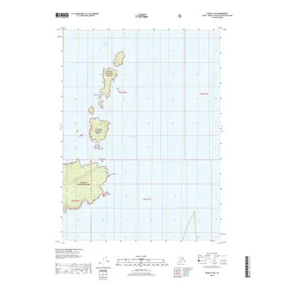
2018 · Craig D-7 NE
USGS Topo · 1:25,000
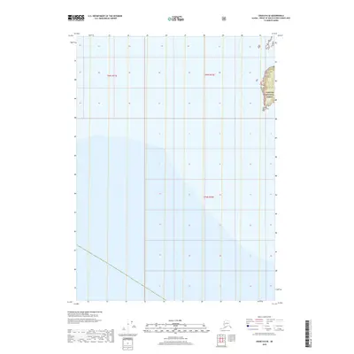
2018 · Craig D-8 SE
USGS Topo · 1:25,000
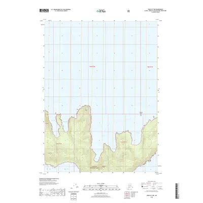
2018 · Craig D-7 NW
USGS Topo · 1:25,000
2018 · Craig D-7 SE
USGS Topo · 1:25,000
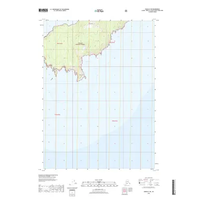
2018 · Craig D-7 SW
USGS Topo · 1:25,000
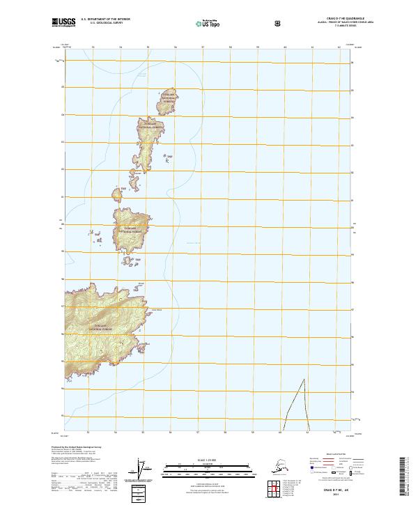
2021 · Craig D-7 NE
USGS Topo · 1:25,000
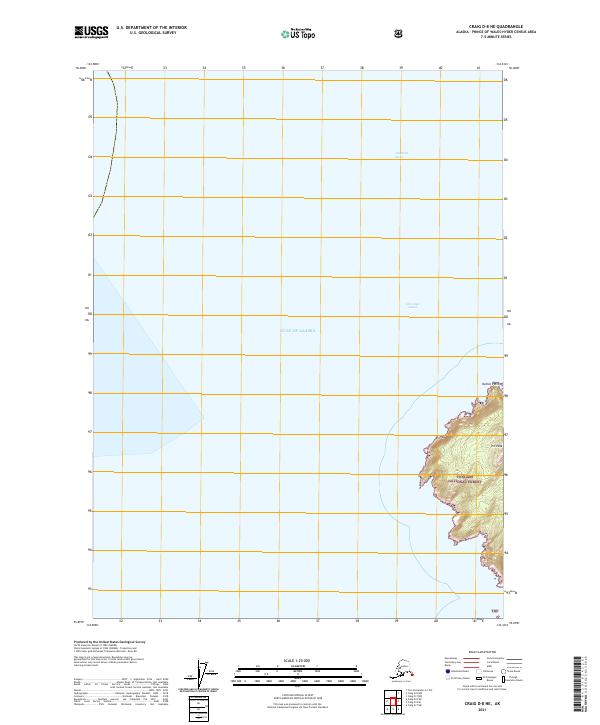
2021 · Craig D-8 NE
USGS Topo · 1:25,000