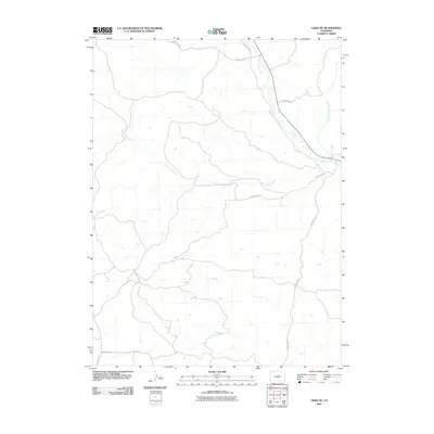
2010 Map of Craig NE
USGS Topo · Published 2010About this map
Fortification Creek meanders through the high desert landscape north of Craig in Moffat County, forming the primary drainage corridor for this part of the Colorado plateau. The map details a remote section of the county defined by its seasonal watercourses and a sparse network of rural routes, including County Rd 108 and County Rd 73. These roads follow the natural contours of the land, providing access to open range and isolated ranch lands typical of the region's ranching economy.
Find a feature on this map
11 named features on this map. Tap any name to fly to it.
Don’t see what you’re looking for? This feature index may not catch every label — zoom into the map to look around manually.
Map Details
Editions of this 2010 Craig NE Map
This is the sole edition of this map. No revisions or reprints were ever made.
Other maps of this area

1916 · Craig
USGS Topo · 1:125,000

1923 · Elkhead Creek
USGS Topo · 1:62,500

1924 · Elkhead Creek
USGS Topo · 1:62,500

1954 · Craig
USGS Topo · 1:250,000

1957 · Craig
USGS Topo · 1:250,000

1958 · Craig
USGS Topo · 1:250,000

1960 · Craig
USGS Topo · 1:250,000

1962 · Craig
USGS Topo · 1:250,000

1964 · Craig
USGS Topo · 1:250,000

1965 · Craig
USGS Topo · 1:250,000