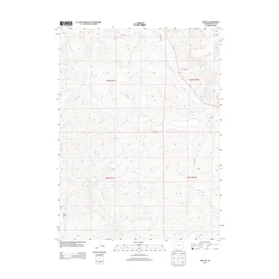
2013 Map of Craig NE
USGS Topo · Published 2013About this map
Fortification Cr and Blue Gravel Cr wind through this high-elevation landscape of Moffat County, defining the drainage patterns of the northeast Craig vicinity. The terrain is characterized by significant topographic relief, most notably at Big Gulch, where the land drops away from the surrounding plateaus. A network of county roads, including CO Road 108 and CO Road 109, provides access to these rural tracts, while Co-13 serves as the primary north-south artery. This 2013 survey illustrates the modern configuration of section lines and range boundaries, such as t009n r091w, which organize the expansive open territory. The presence of Little Cottonwood Cr in the eastern portion of the map further highlights the seasonal water sources that are vital to this semi-arid region.
Find a feature on this map
15 named features on this map. Tap any name to fly to it.
Don’t see what you’re looking for? This feature index may not catch every label — zoom into the map to look around manually.
Map Details
Editions of this 2013 Craig NE Map
This is the sole edition of this map. No revisions or reprints were ever made.
Other maps of this area

1916 · Craig
USGS Topo · 1:125,000

1923 · Elkhead Creek
USGS Topo · 1:62,500

1924 · Elkhead Creek
USGS Topo · 1:62,500

1954 · Craig
USGS Topo · 1:250,000

1957 · Craig
USGS Topo · 1:250,000

1958 · Craig
USGS Topo · 1:250,000

1960 · Craig
USGS Topo · 1:250,000

1962 · Craig
USGS Topo · 1:250,000

1964 · Craig
USGS Topo · 1:250,000

1965 · Craig
USGS Topo · 1:250,000