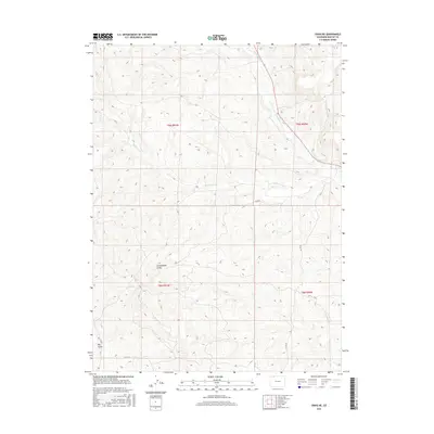
2016 Map of Craig NE
USGS Topo · Published 2016About this map
Fortification Cr and Blue Gravel Cr drain a landscape of significant high-altitude relief in this portion of Moffat County. The 2016 survey illustrates the remote character of this high country, where the topography is defined by prominent drainage systems like Cottonwood Gulch and Big Gulch. These features have long shaped the ranching and resource-extraction patterns of northwest Colorado.
Find a feature on this map
13 named features on this map. Tap any name to fly to it.
Don’t see what you’re looking for? This feature index may not catch every label — zoom into the map to look around manually.
Map Details
Editions of this 2016 Craig NE Map
This is the sole edition of this map. No revisions or reprints were ever made.
Other maps of this area

1916 · Craig
USGS Topo · 1:125,000

1923 · Elkhead Creek
USGS Topo · 1:62,500

1924 · Elkhead Creek
USGS Topo · 1:62,500

1954 · Craig
USGS Topo · 1:250,000

1957 · Craig
USGS Topo · 1:250,000

1958 · Craig
USGS Topo · 1:250,000

1960 · Craig
USGS Topo · 1:250,000

1962 · Craig
USGS Topo · 1:250,000

1964 · Craig
USGS Topo · 1:250,000

1965 · Craig
USGS Topo · 1:250,000