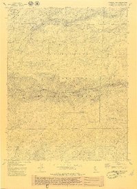
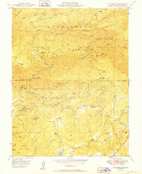
1979 Map of Crandall Peak
USGS Topo · Published 1979About this map
The Middle Fork Stanislaus River carves through this central portion of the Sierra Nevada, defining a landscape dominated by the Stanislaus National Forest. The geography is characterized by high ridges and deep canyons, with Crandall Peak and Mount Knight serving as prominent landmarks. This 1970s survey documents the infrastructure of resource management and recreation, featuring the Tuolumne State Game Refuge 1-R and the Sand Bar Flat Dam. Transportation history is visible through the remnants of a Railroad Grade and the established Griswold Grade. Small outposts such as Dry Meadow Station and Camp Perdola provide evidence of human activity in the high country, while a network of named springs like Indian Spring and creeks like Soap Creek supported the seasonal movements of forest workers and travelers through Schoettgen Pass.
Find a feature on this map
43 named features on this map. Tap any name to fly to it.
Don’t see what you’re looking for? This feature index may not catch every label — zoom into the map to look around manually.
Map Details
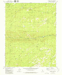
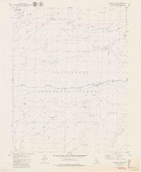
Editions of this 1979 Crandall Peak Map
3 editions found
Other maps of this area

1891 · Big Trees
USGS Topo · 1:125,000

1894 · Big Trees
USGS Topo · 1:125,000

1897 · Big Trees
USGS Topo · 1:125,000

1901 · Big Trees
USGS Topo · 1:125,000

1947 · Sacramento
USGS Topo · 1:250,000

1948 · Sacramento
USGS Topo · 1:250,000

1948 · Columbia
USGS Topo · 1:62,500
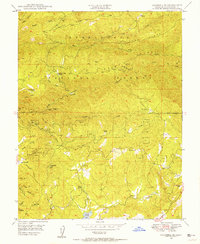
1948 · Columbia SE
USGS Topo · 1:24,000

1948 · Stanislaus
USGS Topo · 1:24,000
1949 · Columbia SE
USGS Topo · 1:24,000