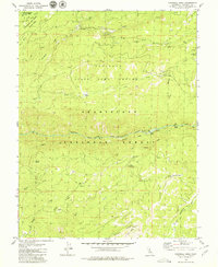
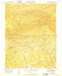
1979 Map of Crandall Peak
USGS Topo · Published 1979About this map
The Middle Fork Stanislaus River carves a central path through this section of the High Sierra, defining the landscape between the Stanislaus National Forest and the Tuolumne State Game Refuge. In the late 1970s, this area remained largely remote, characterized by steep canyon drainages such as Griswold Creek and Knight Creek. Evidence of early industrial and transit history is preserved through the Old Railroad Grade that winds through the forest, a relic of timber or construction logistics in the rugged terrain.
Find a feature on this map
40 named features on this map. Tap any name to fly to it.
Don’t see what you’re looking for? This feature index may not catch every label — zoom into the map to look around manually.
Map Details
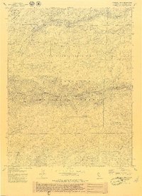
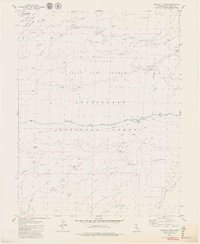
Editions of this 1979 Crandall Peak Map
3 editions found
Other maps of this area

1891 · Big Trees
USGS Topo · 1:125,000

1894 · Big Trees
USGS Topo · 1:125,000

1897 · Big Trees
USGS Topo · 1:125,000

1901 · Big Trees
USGS Topo · 1:125,000

1947 · Sacramento
USGS Topo · 1:250,000

1948 · Sacramento
USGS Topo · 1:250,000

1948 · Columbia
USGS Topo · 1:62,500
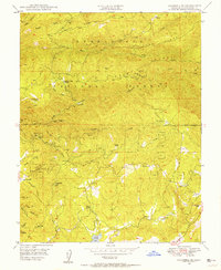
1948 · Columbia SE
USGS Topo · 1:24,000

1948 · Stanislaus
USGS Topo · 1:24,000
1949 · Columbia SE
USGS Topo · 1:24,000