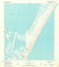
1968 Map of Crane Islands NW
USGS Topo · Published 1971About this map
Mustang Island and the northern tip of Padre Island dominate this coastal survey, separated by the narrow inlet of Corpus Christi Pass. The transition between the shallow Laguna Madre and the open Gulf of Mexico is defined by a series of shifting sands and engineered cuts, including Newport Pass and the Packery Channel. To the west, the John Kennedy Causeway provides a critical land link across the water toward the Corpus Christi Naval Air Station at the edge of Corpus Christi Bay. Industrial activity is evident in the offshore Oil Field to the north, where numerous gas and oil wells are charted. For the local historian or researcher, the map captures the mid-century configuration of these barrier islands before extensive modern development, including landmarks like Packery Channel Park and the Intracoastal Waterway.
Find a feature on this map
29 named features on this map. Tap any name to fly to it.
Don’t see what you’re looking for? This feature index may not catch every label — zoom into the map to look around manually.
Map Details
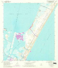
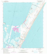
Editions of this 1968 Crane Islands NW Map
3 editions found
Other maps of this area

1925 · Aransas Pass
USGS Topo · 1:62,500

1925 · Oso Creek
USGS Topo · 1:62,500

1925 · Corpus Christi
USGS Topo · 1:62,500

1950 · Corpus Christi
USGS Topo · 1:250,000

1951 · Portland
USGS Topo · 1:24,000

1951 · Corpus Christi
USGS Topo · 1:62,500

1951 · Crane Islands NW
USGS Topo · 1:24,000

1951 · Oso Creek NE
USGS Topo · 1:24,000

1951 · Crane Islands SW
USGS Topo · 1:24,000

1951 · Oso Creek
USGS Topo · 1:62,500