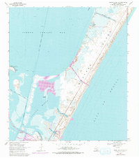
1968 Map of Crane Islands NW
USGS Topo · Published 1977About this map
Mustang Island and the northern tip of Padre Island dominate this coastal survey, reflecting a landscape defined by the shifting barrier island dynamics of the Texas Gulf Coast. The transition between Corpus Christi Bay and the Gulf of Mexico is marked by tidal exchange points such as Corpus Christi Pass and Newport Pass. The inclusion of the John F Kennedy Causeway and the Corpus Christi Naval Air Station illustrates the mid-century infrastructure supporting both regional connectivity and national defense.
Find a feature on this map
24 named features on this map. Tap any name to fly to it.
Don’t see what you’re looking for? This feature index may not catch every label — zoom into the map to look around manually.
Map Details
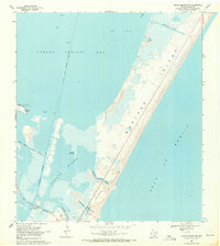
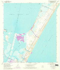
Editions of this 1968 Crane Islands NW Map
3 editions found
Other maps of this area

1925 · Aransas Pass
USGS Topo · 1:62,500

1925 · Oso Creek
USGS Topo · 1:62,500

1925 · Corpus Christi
USGS Topo · 1:62,500

1950 · Corpus Christi
USGS Topo · 1:250,000

1951 · Portland
USGS Topo · 1:24,000

1951 · Corpus Christi
USGS Topo · 1:62,500

1951 · Crane Islands NW
USGS Topo · 1:24,000

1951 · Oso Creek NE
USGS Topo · 1:24,000

1951 · Crane Islands SW
USGS Topo · 1:24,000

1951 · Oso Creek
USGS Topo · 1:62,500