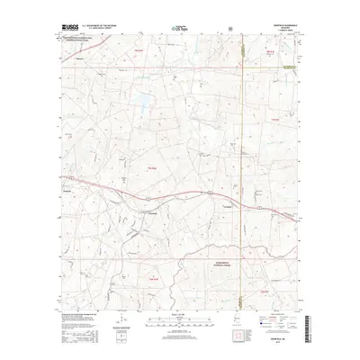
2015 Map of Cranfield
USGS Topo · Published 2015About this map
Cranfield and Stanton define the residential character of this Adams County landscape, situated near the intersection of various historic thoroughfares. The southern portion of the sheet is dominated by the dense, hilly terrain of the Homochitto National Forest, where the headwaters of Bates Cr and Sandy Cr begin their westward course. The northern edge is traced by the historic Natchez Trace Parkway and National Scenic Trail, a modern preservation of the ancient wilderness road that once connected the Mississippi River to central Tennessee. Numerous small family or community burial grounds, such as Higgland Cem, Roaring Dale Cem, and Hickory Grove Cem, are scattered throughout the townships, providing a clear map of rural settlement patterns and genealogical heritage. The complex drainage network, featuring South Fork Coles Creek and Saint Catherine Cr, illustrates the hydrological challenges faced by early settlers in this part of Mississippi.
Find a feature on this map
80 named features on this map. Tap any name to fly to it.
Don’t see what you’re looking for? This feature index may not catch every label — zoom into the map to look around manually.
Map Details
Editions of this 2015 Cranfield Map
This is the sole edition of this map. No revisions or reprints were ever made.
Other maps of this area

1921 · Natchez
USGS Topo · 1:48,000

1922 · Natchez
USGS Topo · 1:62,500

1939 · Natchez
USGS Topo · 1:62,500

1939 · Kingston
USGS Topo · 1:62,500

1953 · Natchez
USGS Topo · 1:250,000

1956 · Natchez
USGS Topo · 1:250,000

1958 · Kingston
USGS Topo · 1:62,500

1959 · Natchez
USGS Topo · 1:250,000

1961 · Crosby
USGS Topo · 1:62,500

1962 · Fayette
USGS Topo · 1:62,500