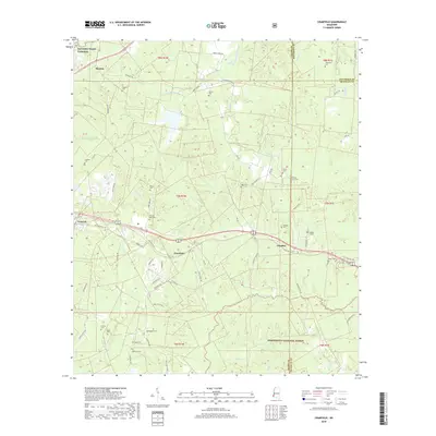
2018 Map of Cranfield
USGS Topo · Published 2018About this map
Natchez Trace Parkway curves through the northern landscape of this Adams County region, signaling a connection to the historic travel corridor. This map documents a rural network of family and community burial grounds, including Roaring Dale Cem, Hickory Grove Cem, and Hoggatt Cem, which anchor the small settlements of Fenwick, Cranfield, and Leesdale. The southern portion of the area is dominated by the protected timberlands of the Homochitto National Forest, where a complex system of local drainages like Sandy Cr and Bates Cr feed into the regional watershed. The topography is defined by the winding paths of South Fork Coles Creek and Whitens Cr, which cut through the hills near Stanton. This map serves as an essential record of family names and land usage in the late 2010s, capturing the enduring rural character of Southwest Mississippi before further development.
Find a feature on this map
76 named features on this map. Tap any name to fly to it.
Don’t see what you’re looking for? This feature index may not catch every label — zoom into the map to look around manually.
Map Details
Editions of this 2018 Cranfield Map
This is the sole edition of this map. No revisions or reprints were ever made.
Other maps of this area

1921 · Natchez
USGS Topo · 1:48,000

1922 · Natchez
USGS Topo · 1:62,500

1939 · Natchez
USGS Topo · 1:62,500

1939 · Kingston
USGS Topo · 1:62,500

1953 · Natchez
USGS Topo · 1:250,000

1956 · Natchez
USGS Topo · 1:250,000

1958 · Kingston
USGS Topo · 1:62,500

1959 · Natchez
USGS Topo · 1:250,000

1961 · Crosby
USGS Topo · 1:62,500

1962 · Fayette
USGS Topo · 1:62,500