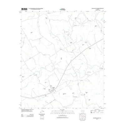
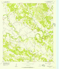
2012 Map of Cranfills Gap
USGS Topo · Published 2012About this map
Cranfills Gap serves as the central hub of this Central Texas landscape, where the town site is sheltered by the elevated terrain of Cranfills Mtn and Rattlesnake Mtn. The 2012 survey illustrates a region deeply connected to its agricultural and heritage roots, notably through the Upper Settlement Rural Historic District and multiple legacy family properties like the John Pederson Farm and the Tom and Martha Rogstad Farm.
Find a feature on this map
60 named features on this map. Tap any name to fly to it.
Don’t see what you’re looking for? This feature index may not catch every label — zoom into the map to look around manually.
Map Details
Editions of this 2012 Cranfills Gap Map
This is the sole edition of this map. No revisions or reprints were ever made.
Other maps of this area

1888 · Meridian
USGS Topo · 1:125,000

1894 · Meridian
USGS Topo · 1:125,000

1954 · Waco
USGS Topo · 1:250,000

1955 · Waco
USGS Topo · 1:250,000

1955 · Meridian
USGS Topo · 1:24,000
1956 · Hurst Spring
USGS Topo · 1:24,000

1956 · Cranfills Gap
USGS Topo · 1:24,000
1956 · German Valley
USGS Topo · 1:24,000
1956 · Fairy
USGS Topo · 1:24,000
1956 · Sugarloaf Mountain
USGS Topo · 1:24,000