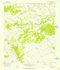
1956 Map of German Valley
USGS Topo · Published 1957About this map
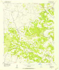
German Valley, Stanford Valley, and Goar Valley are the central landmarks of this mid-century Texas landscape, where the borders of Hamilton, Bosque, and Coryell Counties meet. The terrain is characterized by the branching drainages of Neils Creek and Hog Creek, with numerous forks cutting through the limestone uplands. Cultural markers are sparse but significant for local history, including the Goar Valley Polling Booth and the German Valley Cem. The map reveals a rural settlement pattern defined by these narrow valleys and elevated ridges like High Point, where roads follow the natural contours of the Middle Fork and South Fork of the local creek systems. This survey documents the area just as it remained a quiet agricultural and ranching district before later development or consolidation altered the rural fabric.
Find a feature on this map
20 named features on this map. Tap any name to fly to it.
Don’t see what you’re looking for? This feature index may not catch every label — zoom into the map to look around manually.
Map Details
Editions of this 1956 German Valley Map
This is the sole edition of this map. No revisions or reprints were ever made.
Other maps of this area

1888 · Meridian
USGS Topo · 1:125,000

1894 · Meridian
USGS Topo · 1:125,000

1954 · Waco
USGS Topo · 1:250,000

1955 · Waco
USGS Topo · 1:250,000
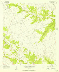
1955 · Turnersville
USGS Topo · 1:24,000
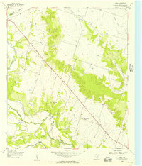
1955 · Ater
USGS Topo · 1:24,000
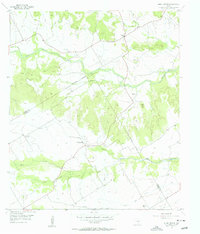
1956 · Hurst Spring
USGS Topo · 1:24,000
1956 · Jonesboro
USGS Topo · 1:24,000

1956 · Cranfills Gap
USGS Topo · 1:24,000
1956 · Fairy
USGS Topo · 1:24,000