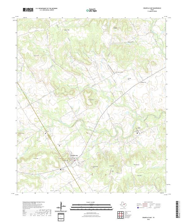
2022 Map of Cranfills Gap
USGS Topo · Published 2022About this map
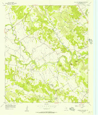
Cranfills Gap serves as the central hub of this Central Texas landscape, situated along the boundary where Bosque Co and Hamilton Co meet. The settlement is surrounded by a cluster of family and community landmarks, including the Kidd Thompson Cem, Cranfills Cem, and Cranfills Gap Cem. To the east, Saint Olaf Cem sits near Pierson Spring, anchoring the local history of the Norwegian heritage prominent in this part of the state.
Find a feature on this map
67 named features on this map. Tap any name to fly to it.
Don’t see what you’re looking for? This feature index may not catch every label — zoom into the map to look around manually.
Map Details
Editions of this 2022 Cranfills Gap Map
This is the sole edition of this map. No revisions or reprints were ever made.
Other maps of this area
1888 · Meridian
USGS Topo · 1:125,000
1894 · Meridian
USGS Topo · 1:125,000

1954 · Waco
USGS Topo · 1:250,000

1955 · Waco
USGS Topo · 1:250,000
1955 · Meridian
USGS Topo · 1:24,000
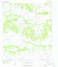
1956 · Hurst Spring
USGS Topo · 1:24,000
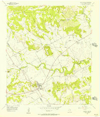
1956 · Cranfills Gap
USGS Topo · 1:24,000
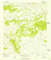
1956 · German Valley
USGS Topo · 1:24,000
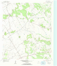
1956 · Fairy
USGS Topo · 1:24,000
1956 · Sugarloaf Mountain
USGS Topo · 1:24,000