
1970 Map of Crater Island
USGS Topo · Published 1972About this map
Crater Island Mountains and the northern reach of the Silver Island Mountains dominate this high-desert landscape in northwestern Utah. The survey illustrates a stark environment defined by expansive Alkali or Mud flats that separate these island-like ranges from the surrounding Great Salt Lake Desert. Historical transit is preserved here through the marking of the Donner-Reed Trail, which cuts across the southern portion of the quadrangle through Donner-Reed Pass, tracing the arduous path of early pioneers. Topographic detail captures the specialized terrain of the region, including Sand Dunes gathered at the mountain bases and several caves located along the steep slopes. Evidence of prospector activity is noted by a solitary Mine, while a network of Jeep Trails provides the only modern access through the desert floor and into the mountain passes.
Find a feature on this map
10 named features on this map. Tap any name to fly to it.
Don’t see what you’re looking for? This feature index may not catch every label — zoom into the map to look around manually.
Map Details
Editions of this 1970 Crater Island Map
This is the sole edition of this map. No revisions or reprints were ever made.
Other maps of this area

1953 · Tooele
USGS Topo · 1:250,000

1954 · Brigham City
USGS Topo · 1:250,000

1955 · Tooele
USGS Topo · 1:250,000

1958 · Brigham City
USGS Topo · 1:250,000

1962 · Brigham City
USGS Topo · 1:250,000
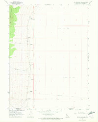
1967 · Crater Island SW
USGS Topo · 1:24,000

1967 · Lemay Island
USGS Topo · 1:24,000
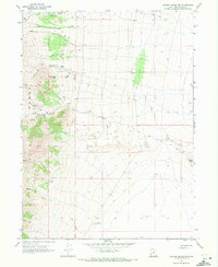
1967 · Crater Island NW
USGS Topo · 1:24,000

1971 · Silver Island Pass
USGS Topo · 1:24,000

1971 · Graham Peak
USGS Topo · 1:24,000