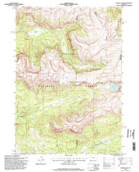
1996 Map of Crater Lake
USGS Topo · Published 1998About this map
The Continental Divide winds through this high-altitude landscape where the headwaters of the Buffalo Fork river system begin their descent. Situated within the Teton National Forest and the protected Teton Wilderness, the terrain is defined by prominent peaks including Soda Mountain and Smokehouse Mountain. This survey, updated with mid-1990s field data, captures a remote region of the Teton Range where traditional Forest Service infrastructure like the Nowlin Meadow Patrol Cabin provides a rare human footprint. Water is the primary architect of the geography here, from the alpine basin of Crater Lake to the drainage of Nowlin Creek and the meandering North Fork Buffalo Fork. The map also details the administrative boundaries between Teton, Fremont, and Park Counties, tracing how these historical lines intersect with natural features like Woodard Canyon.
Find a feature on this map
19 named features on this map. Tap any name to fly to it.
Don’t see what you’re looking for? This feature index may not catch every label — zoom into the map to look around manually.
Map Details
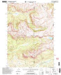
Editions of this 1996 Crater Lake Map
2 editions found
Other maps of this area

1885 · Lake
USGS Topo · 1:125,000

1893 · Ishawooa
USGS Topo · 1:125,000

1895 · Ishawooa
USGS Topo · 1:125,000

1895 · Lake
USGS Topo · 1:125,000

1896 · Lake
USGS Topo · 1:125,000

1899 · Ishawooa
USGS Topo · 1:125,000

1901 · Lake
USGS Topo · 1:125,000

1902 · Mt Leidy
USGS Topo · 1:125,000

1905 · Younts Peak
USGS Topo · 1:125,000

1906 · Lake
USGS Topo · 1:125,000