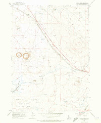
1956 Map of Crater Rings
USGS Topo · Published 1973About this map
Crater Rings, two large adjacent volcanic pit craters, dominate this high desert landscape of Elmore County. The terrain is marked by a complex system of infrastructure, where the historical path of the Old Oregon Trail Highway parallels the Union Pacific (Oregon Short Line) Railroad through the settlements of Cleft and Sebree. These routes trace a narrow corridor of transport and communication, further emphasized by a modern Pipeline and an Airway Beacon located north of the tracks.
Find a feature on this map
21 named features on this map. Tap any name to fly to it.
Don’t see what you’re looking for? This feature index may not catch every label — zoom into the map to look around manually.
Map Details
Editions of this 1956 Crater Rings Map
3 editions found
Other maps of this area

1892 · Mountain Home
USGS Topo · 1:125,000

1893 · Mountain Home
USGS Topo · 1:125,000

1955 · Hailey
USGS Topo · 1:250,000
1956 · Mountain Home South
USGS Topo · 1:24,000
1956 · Cinder Cone Butte
USGS Topo · 1:24,000

1956 · Crater Rings
USGS Topo · 1:24,000

1956 · Mountain Home North
USGS Topo · 1:24,000
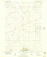
1956 · Crater Rings SW
USGS Topo · 1:24,000

1956 · Mountain Home
USGS Topo · 1:62,500
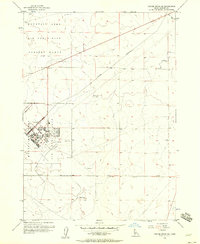
1956 · Crater Rings SE
USGS Topo · 1:24,000