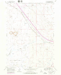
1956 Map of Crater Rings
USGS Topo · Published 1979About this map
The Crater Rings dominate this volcanic high-desert landscape in Elmore County, appearing as two distinct depressions amidst a network of modern and historic transportation corridors. The Union Pacific railroad and a primary Highway cut diagonally across the terrain, passing through the small settlements of Cleft and Sebree. Traces of the region's pioneering past are visible in the path of the Old Oregon Trail, which runs nearly parallel to the tracks, while more recent infrastructure is represented by the Airway Beacon and an extensive Pipeline. To the south, the landscape is defined by the Military Reservation Boundary, marking the northern edge of the Mountain Home Air Force Base Gunnery Range. Water management is central to this environment, with scattered reservoirs, the Fraser Reservoir, and the Lamberton Canal illustrating the efforts to control the arid drainage of the various unnamed canyons and creeks.
Find a feature on this map
26 named features on this map. Tap any name to fly to it.
Don’t see what you’re looking for? This feature index may not catch every label — zoom into the map to look around manually.
Map Details
Editions of this 1956 Crater Rings Map
3 editions found
Other maps of this area

1892 · Mountain Home
USGS Topo · 1:125,000

1893 · Mountain Home
USGS Topo · 1:125,000

1955 · Hailey
USGS Topo · 1:250,000
1956 · Mountain Home South
USGS Topo · 1:24,000
1956 · Cinder Cone Butte
USGS Topo · 1:24,000

1956 · Crater Rings
USGS Topo · 1:24,000

1956 · Mountain Home North
USGS Topo · 1:24,000
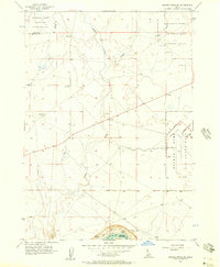
1956 · Crater Rings SW
USGS Topo · 1:24,000

1956 · Mountain Home
USGS Topo · 1:62,500
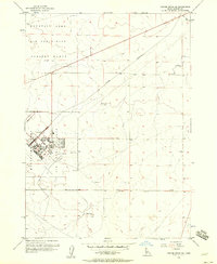
1956 · Crater Rings SE
USGS Topo · 1:24,000