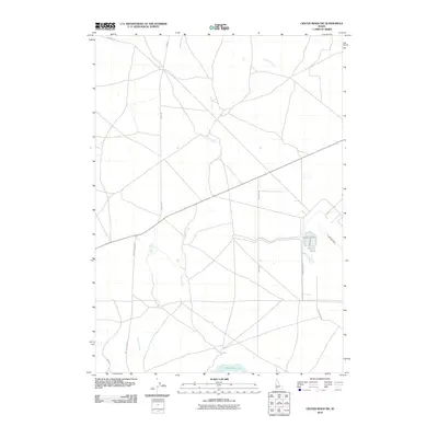
2010 Map of Crater Rings SW
USGS Topo · Published 2010About this map
C J Strike Reservoir anchors the southern boundary of this high desert landscape, where the confluence of several seasonal drainages meets the dammed waters of the Snake River. The terrain is defined by the winding paths of Canyon Creek and Squaw Creek, which cut through the open country south of the Mountain Home area. A network of rural transit corridors, including Simco Rd and Sw Strike Dam Rd, crisscross the region, indicating the logistical connections between local ranching operations and the reservoir's infrastructure. The presence of a Landing Strip and Gravel Pit Rd suggests a landscape of active utility and resource management, characteristic of this portion of Elmore and Ada counties in the early twenty-first century.
Find a feature on this map
11 named features on this map. Tap any name to fly to it.
Don’t see what you’re looking for? This feature index may not catch every label — zoom into the map to look around manually.
Map Details
Editions of this 2010 Crater Rings SW Map
This is the sole edition of this map. No revisions or reprints were ever made.
Other maps of this area

1892 · Mountain Home
USGS Topo · 1:125,000

1892 · Bisuka
USGS Topo · 1:125,000

1893 · Mountain Home
USGS Topo · 1:125,000

1894 · Bisuka
USGS Topo · 1:125,000

1946 · Mouth of Bruneau
USGS Topo · 1:24,000

1947 · Grand View
USGS Topo · 1:62,500

1947 · Bruneau
USGS Topo · 1:62,500

1947 · Grand View
USGS Topo · 1:24,000

1947 · Bruneau
USGS Topo · 1:24,000

1947 · Dorsey Butte
USGS Topo · 1:24,000