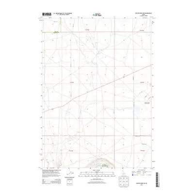
2013 Map of Crater Rings SW
USGS Topo · Published 2013About this map
Mountain Home Air Force Base occupies a significant portion of the eastern landscape in this 2013 survey, with its northwestern infrastructure including Liberator St and Cedar St visible. The terrain is defined by the high desert of the Snake River Plain, where the Snake River forms the southern boundary at the junction of Elmore and Owyhee counties. The drainage pattern is marked by intermittent waterways such as Squaw Creek and Canyon Creek, which flow toward the river through a region characterized by section lines and desert tracks.
Find a feature on this map
21 named features on this map. Tap any name to fly to it.
Don’t see what you’re looking for? This feature index may not catch every label — zoom into the map to look around manually.
Map Details
Editions of this 2013 Crater Rings SW Map
This is the sole edition of this map. No revisions or reprints were ever made.
Other maps of this area

1892 · Mountain Home
USGS Topo · 1:125,000

1892 · Bisuka
USGS Topo · 1:125,000

1893 · Mountain Home
USGS Topo · 1:125,000

1894 · Bisuka
USGS Topo · 1:125,000

1946 · Mouth of Bruneau
USGS Topo · 1:24,000

1947 · Grand View
USGS Topo · 1:62,500

1947 · Bruneau
USGS Topo · 1:62,500

1947 · Grand View
USGS Topo · 1:24,000

1947 · Bruneau
USGS Topo · 1:24,000

1947 · Dorsey Butte
USGS Topo · 1:24,000