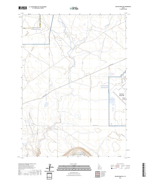
2024 Map of Crater Rings SW
USGS Topo · Published 2024About this map
Mountain Home Air Force Base dominates the eastern portion of this high-desert landscape in Elmore County, where the infrastructure of modern aviation meets the ancient course of the Snake River. This 2024 survey captures the precise layout of the base, including residential streets like Liberator St and Cedar St, set against a backdrop of desert drainage systems. To the northwest, the Orchard Combat Training Center straddles the line between Ada and Elmore counties, indicating the region's continued importance for military readiness.
Find a feature on this map
26 named features on this map. Tap any name to fly to it.
Don’t see what you’re looking for? This feature index may not catch every label — zoom into the map to look around manually.
Map Details
Editions of this 2024 Crater Rings SW Map
This is the sole edition of this map. No revisions or reprints were ever made.
Other maps of this area

1892 · Mountain Home
USGS Topo · 1:125,000

1892 · Bisuka
USGS Topo · 1:125,000

1893 · Mountain Home
USGS Topo · 1:125,000

1894 · Bisuka
USGS Topo · 1:125,000

1946 · Mouth of Bruneau
USGS Topo · 1:24,000

1947 · Grand View
USGS Topo · 1:62,500

1947 · Bruneau
USGS Topo · 1:62,500

1947 · Grand View
USGS Topo · 1:24,000

1947 · Bruneau
USGS Topo · 1:24,000

1947 · Dorsey Butte
USGS Topo · 1:24,000