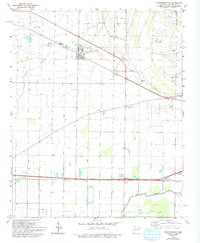
1981 Map of Crawfordsville
USGS Topo · Published 1993About this map
Crawfordsville serves as the primary hub of this eastern Arkansas landscape, where a grid of rural roads and drainage infrastructure defines the agricultural character of the late twentieth century. Small, scattered communities such as Vincent, Ebony, and Lehi are connected by a network of bayous, including Dry Bayou and Alligator Bayou, which wind through the flat terrain. The area is dotted with local landmarks and religious centers that highlight its social geography, such as Corinthian Ch and Oak Grove Ch.
Find a feature on this map
32 named features on this map. Tap any name to fly to it.
Don’t see what you’re looking for? This feature index may not catch every label — zoom into the map to look around manually.
Map Details
Editions of this 1981 Crawfordsville Map
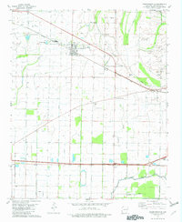
2 editions found
Other maps of this area

1916 · Memphis
USGS Topo · 1:62,500

1925 · Memphis
USGS Topo · 1:48,000

1927 · Memphis
USGS Topo · 1:62,500

1931 · Jericho
USGS Topo · 1:62,500

1939 · Jericho
USGS Topo · 1:62,500

1939 · Edmondson
USGS Topo · 1:62,500

1939 · Memphis
USGS Topo · 1:62,500

1940 · Deckerville
USGS Topo · 1:62,500

1952 · Jericho
USGS Topo · 1:62,500

1953 · Memphis
USGS Topo · 1:250,000