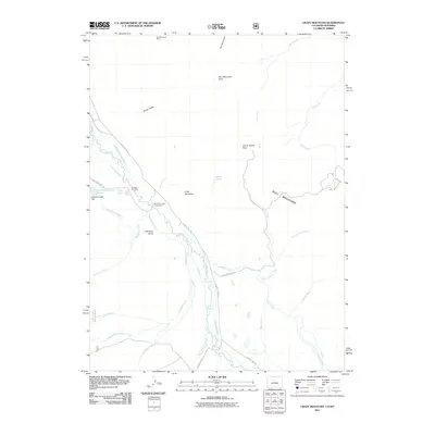
2011 Map of Crazy Mountain
USGS Topo · Published 2011About this map
The Laramie River meanders through this high-altitude landscape on the Colorado-Wyoming border, where a complex network of historic water management features supported early ranching and resource extraction. Significant irrigation infrastructure, such as the Mansfield Ditch and Yelton Ditch, crisscrosses the terrain, indicating a long history of water rights and land use in this arid region. Near the river, the Forrester Cemetery provides a tangible link to the area's early settlers, while the Hohnholz Lakes Campground and Little Hohnholz Dam mark the shift toward modern recreational land use.
Find a feature on this map
42 named features on this map. Tap any name to fly to it.
Don’t see what you’re looking for? This feature index may not catch every label — zoom into the map to look around manually.
Map Details
Editions of this 2011 Crazy Mountain Map
This is the sole edition of this map. No revisions or reprints were ever made.
Other maps of this area

1895 · Laramie
USGS Topo · 1:125,000

1902 · Laramie
USGS Topo · 1:125,000

1905 · Laramie
USGS Topo · 1:125,000

1906 · Medicine Bow
USGS Topo · 1:125,000

1906 · Laramie
USGS Topo · 1:125,000

1908 · Laramie
USGS Topo · 1:125,000

1908 · Medicine Bow
USGS Topo · 1:125,000

1916 · Home
USGS Topo · 1:125,000

1920 · Home
USGS Topo · 1:125,000

1954 · Cheyenne
USGS Topo · 1:250,000