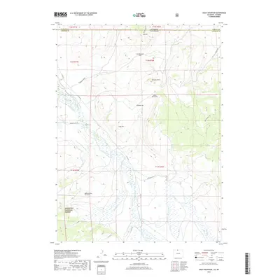
2019 Map of Crazy Mountain
USGS Topo · Published 2019About this map
The Laramie River winds through this high-country landscape along the border of Colorado and Wyoming, flanked by an extensive network of irrigation infrastructure. This 2019 survey captures the complex water management of the region, where features like Forrester Ditch Number 1, the Lower La Garde Ditch, and the Jimmy Cr Ditch redirect flow across the basin. These engineering works support the high-altitude ranching and agricultural lands south of the state line, while the western edge is defined by the protected wilderness of the Roosevelt National Forest.
Find a feature on this map
47 named features on this map. Tap any name to fly to it.
Don’t see what you’re looking for? This feature index may not catch every label — zoom into the map to look around manually.
Map Details
Editions of this 2019 Crazy Mountain Map
This is the sole edition of this map. No revisions or reprints were ever made.
Other maps of this area

1895 · Laramie
USGS Topo · 1:125,000

1902 · Laramie
USGS Topo · 1:125,000

1905 · Laramie
USGS Topo · 1:125,000

1906 · Medicine Bow
USGS Topo · 1:125,000

1906 · Laramie
USGS Topo · 1:125,000

1908 · Laramie
USGS Topo · 1:125,000

1908 · Medicine Bow
USGS Topo · 1:125,000

1916 · Home
USGS Topo · 1:125,000

1920 · Home
USGS Topo · 1:125,000

1954 · Cheyenne
USGS Topo · 1:250,000