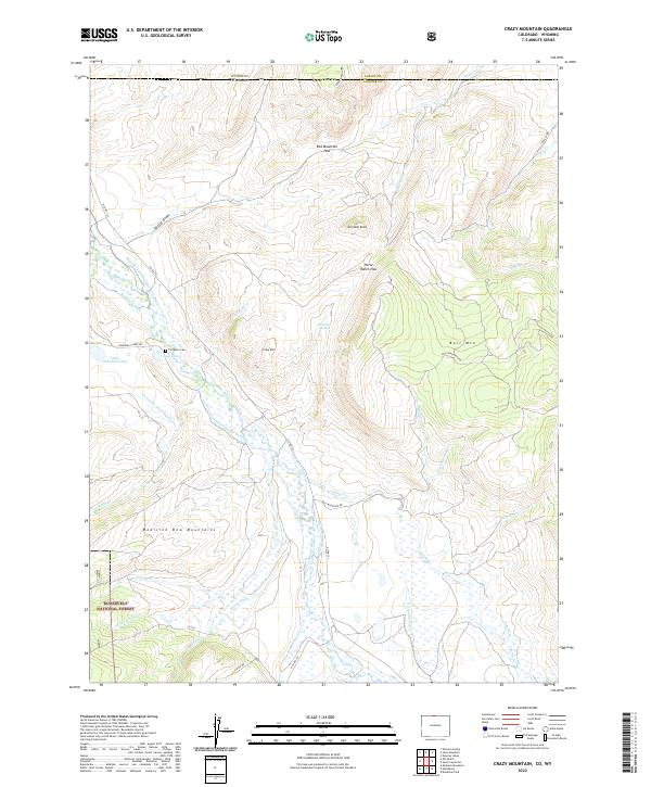
2022 Map of Crazy Mountain
USGS Topo · Published 2022About this map
Red Mountain Pass and the surrounding peaks of the Medicine Bow Mountains define this high-altitude landscape along the Colorado and Wyoming border. This 2022 survey illustrates a complex network of 19th and 20th-century water management infrastructure designed to move water through the arid terrain, including the Forrester Ditch Number 1, Mansfield and Enlargement Ditch, and Bache Ditch. These systems divert flow from the Laramie River and its tributaries to support high-country ranching operations like the one at Horse Ranch Pass.
Find a feature on this map
52 named features on this map. Tap any name to fly to it.
Don’t see what you’re looking for? This feature index may not catch every label — zoom into the map to look around manually.
Map Details
Editions of this 2022 Crazy Mountain Map
This is the sole edition of this map. No revisions or reprints were ever made.
Other maps of this area

1895 · Laramie
USGS Topo · 1:125,000

1902 · Laramie
USGS Topo · 1:125,000

1905 · Laramie
USGS Topo · 1:125,000

1906 · Medicine Bow
USGS Topo · 1:125,000

1906 · Laramie
USGS Topo · 1:125,000

1908 · Laramie
USGS Topo · 1:125,000

1908 · Medicine Bow
USGS Topo · 1:125,000

1916 · Home
USGS Topo · 1:125,000

1920 · Home
USGS Topo · 1:125,000

1954 · Cheyenne
USGS Topo · 1:250,000