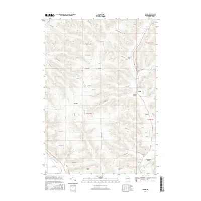
2015 Map of Cream
USGS Topo · Published 2015About this map
Waumandee Valley and its various tributaries define this corner of Buffalo County, where the driftless-style topography creates a distinctive pattern of ridge-and-valley settlement. The small community of Cream sits at a crossroads near Zion Cem, while Herold occupies a central position among the winding rural routes like Co Rd E. The landscape is segmented by prominent elevations such as Alma Ridge, Huber Ridge, and Belvidere Ridge, which separate the agricultural activities in Schmidt Valley and Yaeger Valley. Genealogists will find several burial sites including Lincoln Cem and Anchorage Cem. The drainage network, featuring Little Waumandee Cr and Fimian Cr, illustrates how water shaped the location of farms and roads throughout the township boundaries of t21n r12w and its neighbors.
Find a feature on this map
63 named features on this map. Tap any name to fly to it.
Don’t see what you’re looking for? This feature index may not catch every label — zoom into the map to look around manually.
Map Details
Editions of this 2015 Cream Map
This is the sole edition of this map. No revisions or reprints were ever made.
Other maps of this area

1929 · Fountain City
USGS Topo · 1:62,500

1932 · Cochrane
USGS Topo · 1:62,500

1932 · Gilmanton
USGS Topo · 1:62,500

1932 · Alma
USGS Topo · 1:62,500

1934 · Winona
USGS Topo · 1:62,500

1934 · Cochrane
USGS Topo · 1:62,500

1937 · Winona
USGS Topo · 1:62,500

1937 · Cochrane
USGS Topo · 1:62,500

1950 · Alma
USGS Topo · 1:62,500

1953 · Eau Claire
USGS Topo · 1:250,000