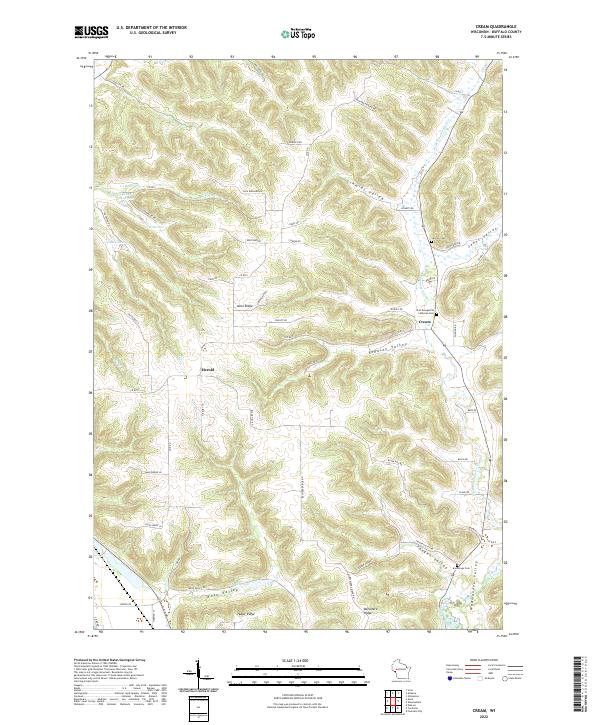
2022 Map of Cream
USGS Topo · Published 2022About this map
Cream and Herold serve as the primary focal points of this Buffalo County landscape, where the terrain is defined by a dense network of coulees and ridges. The drainage pattern of Little Waumandee Cr and Waumandee Creek dictates the placement of narrow valley roads and small agricultural settlements. This 2022 survey illustrates the enduring rural character of the region, where family-named landmarks such as Alma Ridge and Huber Ridge separate deep-cut valleys like Schmidt Valley and Yaeger Valley. Several local burial grounds, including Lincoln Cem, Zion Evangelical Lutheran Cem, and Anchorage Cem, provide significant touchpoints for genealogists tracing the legacy of early settlers in this pocket of Wisconsin. The map also documents numerous small upland water bodies, such as the 1.5 Reservoir and 1.3 Reservoir, which are characteristic of the conservation and agricultural practices found throughout the driftless-style topography.
Find a feature on this map
65 named features on this map. Tap any name to fly to it.
Don’t see what you’re looking for? This feature index may not catch every label — zoom into the map to look around manually.
Map Details
Editions of this 2022 Cream Map
This is the sole edition of this map. No revisions or reprints were ever made.
Other maps of this area

1929 · Fountain City
USGS Topo · 1:62,500

1932 · Cochrane
USGS Topo · 1:62,500

1932 · Gilmanton
USGS Topo · 1:62,500

1932 · Alma
USGS Topo · 1:62,500

1934 · Winona
USGS Topo · 1:62,500

1934 · Cochrane
USGS Topo · 1:62,500

1937 · Winona
USGS Topo · 1:62,500

1937 · Cochrane
USGS Topo · 1:62,500

1950 · Alma
USGS Topo · 1:62,500

1953 · Eau Claire
USGS Topo · 1:250,000