
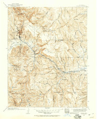
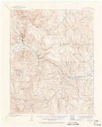
1914 Map of Creede
USGS Topo · Published 1914About this map
Creede and its surrounding mining camps define this 1914 survey of Mineral County, captured during the height of the region's silver-mining significance. The map details the complex industrial geography of the area, featuring the Nelson Tunnel and the Emma Mine, as well as the high-altitude settlements of Bachelor and North Creede. The D & R G RR tracks follow the path of the Rio Grande, connecting these mountain outposts to the wider world.
Find a feature on this map
121 named features on this map. Tap any name to fly to it.
Don’t see what you’re looking for? This feature index may not catch every label — zoom into the map to look around manually.
Map Details
Editions of this 1914 Creede Map
3 editions found
Other maps of this area

1905 · San Cristobal
USGS Topo · 1:125,000

1907 · San Cristobal
USGS Topo · 1:125,000

1908 · Uncompahgre
USGS Topo · 1:125,000

1911 · Uncompahgre
USGS Topo · 1:125,000

1913 · Summitville
USGS Topo · 1:125,000

1915 · Summitville
USGS Topo · 1:125,000

1915 · Del Norte
USGS Topo · 1:125,000

1916 · Creede
USGS Topo · 1:125,000

1917 · Del Norte
USGS Topo · 1:125,000

1922 · Conejos
USGS Topo · 1:125,000