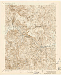
1916 Map of Creede
USGS Topo · Published 1939About this map
Creede and its surrounding silver mining district dominate this 1913–1914 survey, which highlights the intense industrial activity and settlement patterns in Mineral County. The map documents the high-altitude development of Bachelor and North Creede, where the complex infrastructure of the Bachelor Tunnel and Nelson Tunnel once tapped into rich mineral veins. The high-country terrain is defined by the Continental Divide and the headwaters of the Rio Grande, showing the early 20th-century landscape before modern forest management altered these basins.
Find a feature on this map
115 named features on this map. Tap any name to fly to it.
Don’t see what you’re looking for? This feature index may not catch every label — zoom into the map to look around manually.
Map Details
Editions of this 1916 Creede Map
3 editions found
Other maps of this area

1905 · San Cristobal
USGS Topo · 1:125,000

1907 · San Cristobal
USGS Topo · 1:125,000

1908 · Uncompahgre
USGS Topo · 1:125,000

1911 · Uncompahgre
USGS Topo · 1:125,000

1913 · Summitville
USGS Topo · 1:125,000

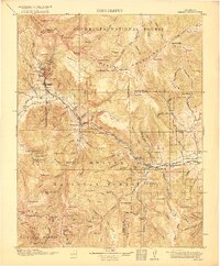
1914 · Creede
USGS Topo · 1:125,000

1915 · Summitville
USGS Topo · 1:125,000

1915 · Del Norte
USGS Topo · 1:125,000

1916 · Creede
USGS Topo · 1:125,000

1917 · Del Norte
USGS Topo · 1:125,000