
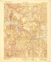
1916 Map of Creede
USGS Topo · Published 1916About this map
The silver mining operations surrounding Creede dominate the landscape of the upper Rio Grande during this early-twentieth-century survey. While the town serves as the regional hub, the industrial activity is concentrated to the north at Bachelor and Sunnyside, where the Emma Mine and the Nelson Tunnel represent the deep-earth engineering required to extract wealth from the San Juan National Forest. These mining camps were connected by rugged trails and serviced by the Denver and Rio Grande railroad, which follows the river's bend toward the southeast.
Find a feature on this map
116 named features on this map. Tap any name to fly to it.
Don’t see what you’re looking for? This feature index may not catch every label — zoom into the map to look around manually.
Map Details
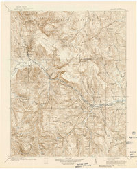
Editions of this 1916 Creede Map
3 editions found
Other maps of this area

1905 · San Cristobal
USGS Topo · 1:125,000

1907 · San Cristobal
USGS Topo · 1:125,000

1908 · Uncompahgre
USGS Topo · 1:125,000

1911 · Uncompahgre
USGS Topo · 1:125,000

1913 · Summitville
USGS Topo · 1:125,000

1914 · Creede
USGS Topo · 1:125,000

1915 · Summitville
USGS Topo · 1:125,000

1915 · Del Norte
USGS Topo · 1:125,000

1917 · Del Norte
USGS Topo · 1:125,000

1922 · Conejos
USGS Topo · 1:125,000