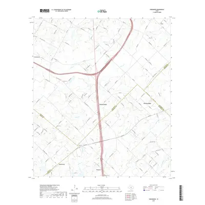
2019 Map of Creedmoor
USGS Topo · Published 2019About this map
Mustang Ridge and Creedmoor anchor this transition landscape south of Austin, where the Blackland Prairies begin their descent toward the Post Oak Savannah. This modern survey details the complex junction of five different Texas counties, capturing a network of rural homesteads and family cemeteries that speak to the area's deep-rooted agricultural history. Genealogists can identify significant burial sites including the Creedmoor Cem, Nelson Cem, and Vasquez Cem, which are scattered among the drainages of Maha Cr and Cowpen Cr. The presence of the historic Cam Real thoroughfare provides a link to early travel corridors that shaped the settlements of Niederwald and Mendoza. The landscape is defined by its small-scale watercourses like Dry Cr and Cedar Cr, which continue to dictate the placement of roads and farm boundaries across the undulating terrain.
Find a feature on this map
114 named features on this map. Tap any name to fly to it.
Don’t see what you’re looking for? This feature index may not catch every label — zoom into the map to look around manually.
Map Details
Editions of this 2019 Creedmoor Map
This is the sole edition of this map. No revisions or reprints were ever made.
Other maps of this area

1896 · Austin
USGS Topo · 1:125,000

1897 · Austin
USGS Topo · 1:125,000

1910 · Austin
USGS Topo · 1:125,000

1911 · San Marcos
USGS Topo · 1:125,000

1919 · San Marcos
USGS Topo · 1:125,000

1930 · Lockhart
USGS Topo · 1:62,500

1953 · Seguin
USGS Topo · 1:250,000

1954 · Austin
USGS Topo · 1:250,000

1955 · Montopolis
USGS Topo · 1:24,000

1955 · Oak Hill
USGS Topo · 1:24,000