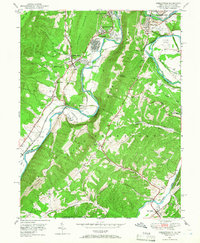
1949 Map of Cresaptown
USGS Topo · Published 1966About this map
The North Branch Potomac River serves as a winding industrial and political border in this post-war survey, separating the Maryland settlements of Bowling Green and Cresaptown from the West Virginia heights. Heavy infrastructure of the era is evident at Amcelle, where a large industrial plant is situated along the Baltimore and Ohio RR and Western Maryland RR tracks. This rail network, alongside the Chesapeake and Ohio Canal (Abandoned), highlights the region's legacy as a transportation corridor.
Find a feature on this map
54 named features on this map. Tap any name to fly to it.
Don’t see what you’re looking for? This feature index may not catch every label — zoom into the map to look around manually.
Map Details
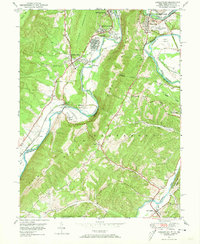
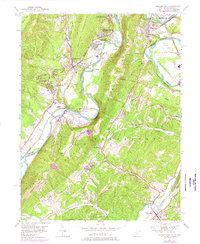
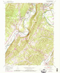
Editions of this 1949 Cresaptown Map
4 editions found
Other maps of this area

1891 · Romney
USGS Topo · 1:125,000

1898 · Frostburg
USGS Topo · 1:62,500

1899 · Flintstone
USGS Topo · 1:62,500

1900 · Flintstone
USGS Topo · 1:62,500

1901 · Frostburg
USGS Topo · 1:62,500

1908 · Frostburg
USGS Topo · 1:62,500

1920 · Keyser
USGS Topo · 1:62,500

1921 · Keyser
USGS Topo · 1:48,000

1921 · Hanging Rock
USGS Topo · 1:48,000

1922 · Keyser
USGS Topo · 1:62,500